Assistant Minister of Planning and Economic Development opens a workshop on applying for the "DEGURBA" degree

14 May 2023
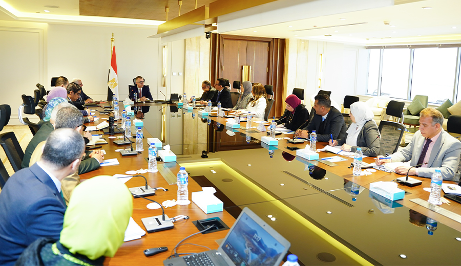
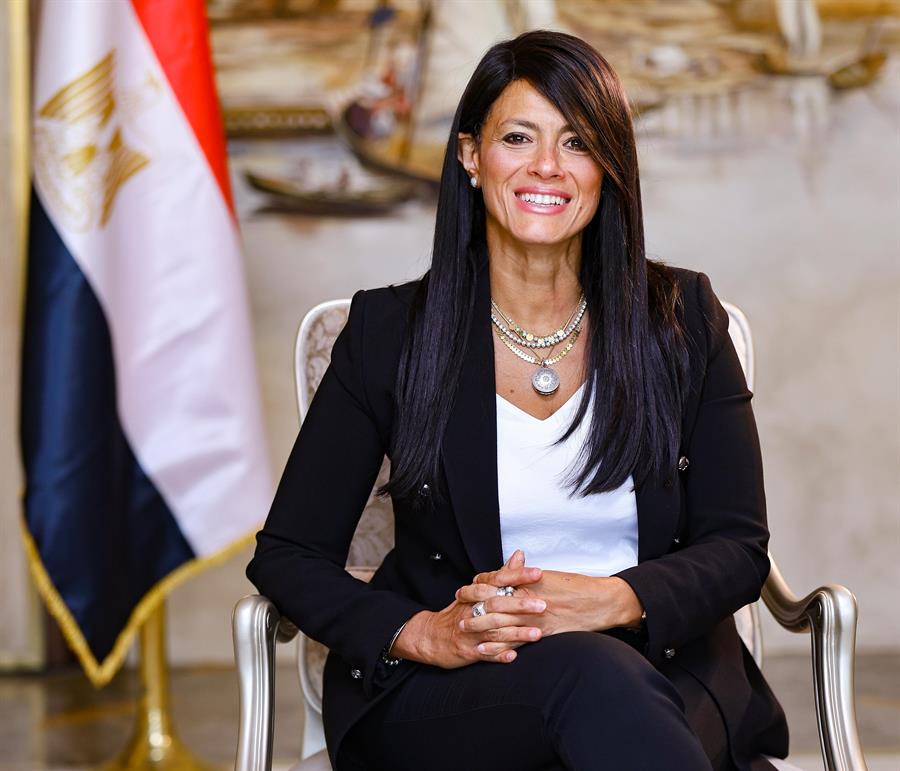
Dr. Mona Essam, Assistant Minister of Planning and Economic Development for Sustainable Development Affairs opened today a workshop on the application of the "DEGURBA" degree of urbanization approach to producing comparable data in Egypt", which was held by the Ministry of Planning and Economic Development in cooperation with the United Nations Human Settlements Program (UN-Habitat).
The workshop witnessed the participation of Dr. Heba Mogheeb, Head of the Regional Planning Sector, and Dr. Mohamed Maghribi Head of the human development sector.
During her speech, Dr. Mona Essam addressed urbanization's importance.
According to the United Nations, this is one of the most important international trends of the 21st century, with the population expected to rise to 70% by 2050. Cities drive economic growth, contributing more than 80% of GDP," she said.
Essam added that urbanization poses many challenges, with cities contributing about 70% of global carbon emissions and consuming more than 60% of global resources.
Moreover, Essam explained that if well planned and managed, urban development can be environmentally friendly. This can lead to overall prosperity, and help overcome poverty, inequality, environmental degradation, and climate change.
Dr. Mona Essam added that Egypt is facing challenges regarding data availability and accessibility related to some sustainable development goals indicators.
She also added that the Ministry of Planning and Economic Development is effectively seeking cooperation with stakeholders and all development partners to offer more data that contributes to the design and execution of evidence-based policies, and to continue the progress in achieving the national sustainable development goals to guarantee that no man is left behind.
Furthermore, Dr. Mona Essam stressed the importance of partnership with the United Nations Human Settlement Programme (UN-Habitat) to apply the (DEGURBA) method as it is a crucial component to support the ministry’s efforts towards offering and developing spatial data.
She also indicated that the project will offer capacity building of statistical systems, measuring many SDG indicators, especially the indicators of the 11th SDG, “Sustainable Cities and Communities”, which Egypt faces challenges measuring. She continued that this would be reflected in the increase in the availability of the SDG indicators along with identifying urban and rural areas according to international standards.
Finally, Essam clarified that this workshop is the first step towards putting the partnership into practice during which the DEGURBA project will be introduced, along with its special methodology, and the applied training on using it to measure some SDG indicators, in addition to agreeing on an executive plan to implement this approach in Egypt based on what will be discussed during the workshop.


